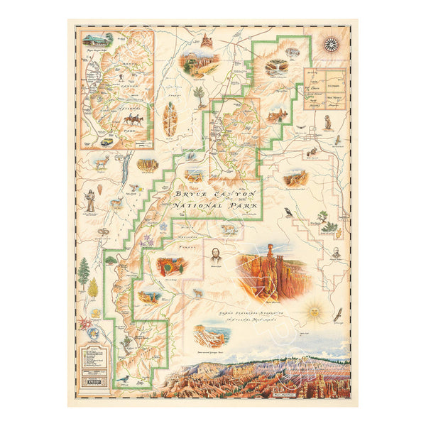
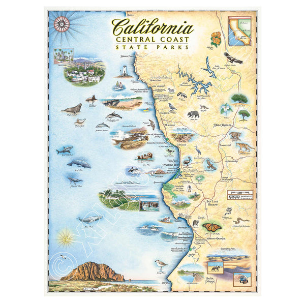
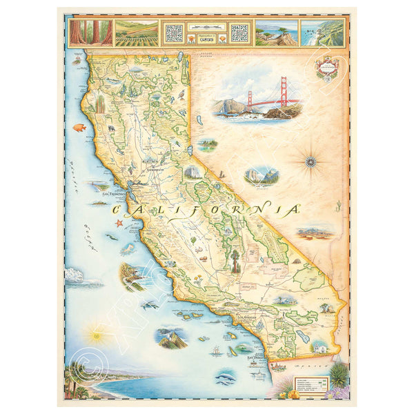
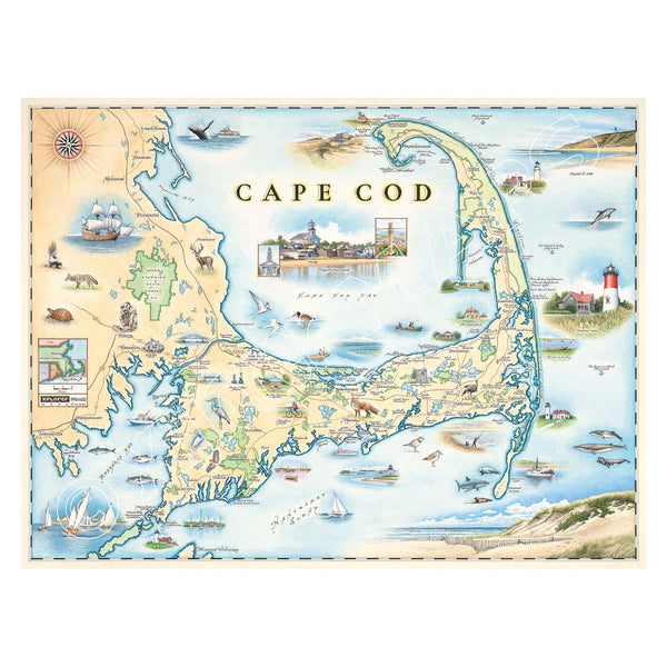
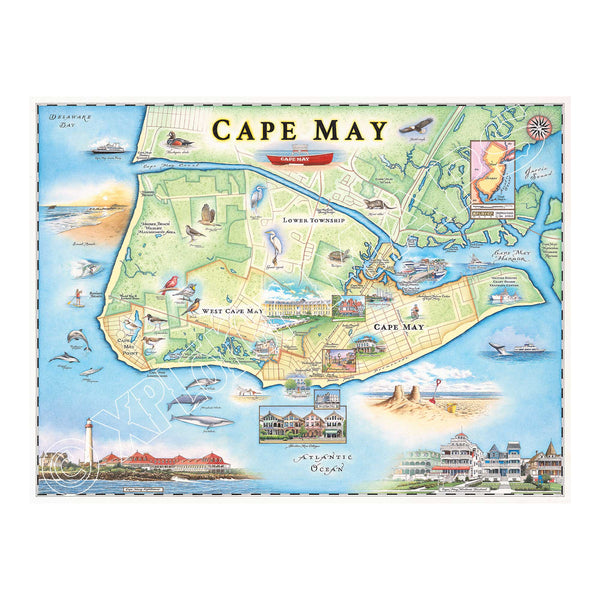
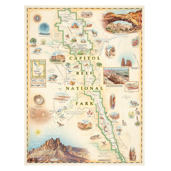
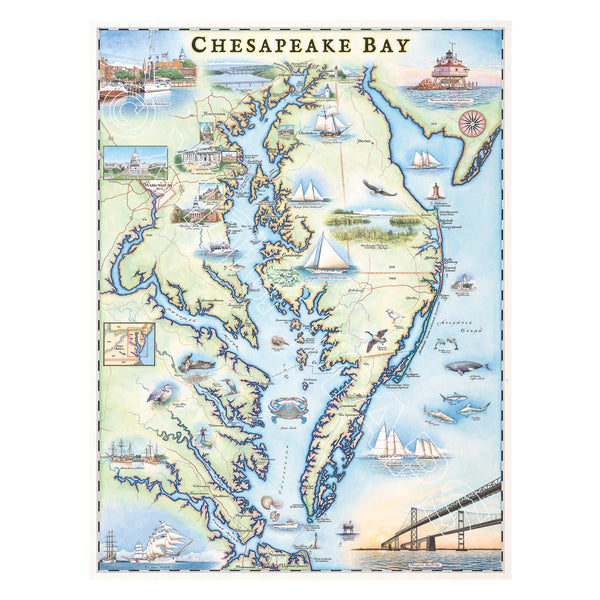
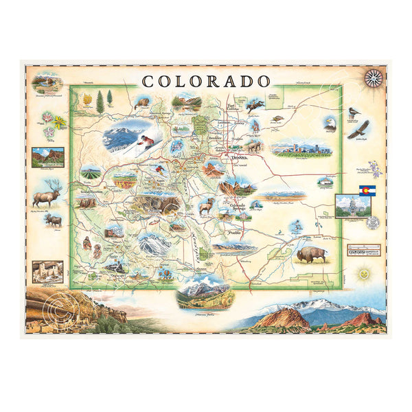
Our Hand-Drawn Story Maps look great anywhere!

All Xplorer Maps lithographic maps are printed on heavy-duty, 80 lb. cover stock using only soy-based inks and 50% post-consumer product. 
Bryce Canyon National Park Map Hand-Drawn Map in earth-tone colors featuring canyons, horseback, hoodoos, Rim Trail, Sunrise Point, Sunset Point, Inspiration Point, Bryce Point, Thor's Hammer, and Bryce Amphitheater. Measure 24x18.
Bryce Canyon National Park Hand-Drawn Map
Price
From $29.99
This is a hand-drawn map of California's Central Coast in earth tones. The map showcases various elements such as black bears, the ocean, butterflies, seals, sharks, Santa Maria, Arroyo Grande, San Luis Obispo, Morro Bay, and Paso Robles. It measures 18x24.
California Central Coast State Parks Hand-Drawn Map
Price
From $29.99
This is an 18x24 hand-drawn map of California and Boston, Massachusetts, and features earth tones of beige, blue, and green. It highlights major cities like Sacramento, San Francisco, Los Angeles, San Diego, and Hollywood. The map also includes illustrations of various aquatic life, such as whales, sea turtles, and different fish species. Additionally, it features popular national parks and attractions like Yosemite, Sequoia, Disneyland, Redwood Forest, Golden Gate Bridge, and Death Valley.
California State Hand-Drawn Map
Price
From $29.99
Massachusetts' Cape Cod Peninsula Hand-Drawn Map in earth tones of blue and beige. The map features whale, fox, deer, and many bird species. Provincetown, Brewster, Chatham, Falmouth, and others. Measures 24x18.
Cape Cod Hand-Drawn Map
Price
From $29.99
New Jersey's Cape May Hand-Drawn Map in blue and green. The map features heron and whale species, Cape May Harbor, Congress Hall, Washington St. Mall, and Cape May Bird Observatory. Measures 24x18.
Cape May Hand-Drawn Map
Price
From $29.99
This is a hand-drawn map of Capitol Reef National Park in Utah with earthy tones. The map showcases the Claret Cup Cactus, Narrowleaf Yucca, Prince's Plume, and the Two-Needle Pinyon Pine. It includes detailed depictions of famous landmarks such as the Lower Muley Twist Canyon, Capitol Gorge, and Hickman Natural Bridge. The map is 18x24 in size.
Capitol Reef National Park Hand-Drawn Map
Price
From $29.99
This is a hand-drawn map of Chesapeake Bay featuring blue and green earth tones and illustrations of boat craft and marine life. The cities showcased on the map are the major cities situated along the shoreline of the bay as well along the peninsula including: Baltimore, Annapolis, Washington D.C., Hampton, Portsmouth, Virginia Beach, and the Chesapeake Bay Bridge. It measures 18x24.
Chesapeake Bay Hand-Drawn Map
Price
From $29.99
This is a hand-drawn map of Colorado in earthy beige and green tones. It showcases various cities including Denver, Fort Collins, Colorado Springs, Aspen, and Durango. It also features local flora and fauna, such as moose, Rocky Mountain elk, turtles, eagles, and Bighorn Sheep, as well as the indigenous Navajo and Hopi peoples. The map highlights popular activities like hiking, biking, rafting, and skiing. Measuring 24x18
Colorado State Hand-Drawn Map
Price
From $29.99
Hand-drawn map of Costa Rica featuring turtles, herons, tropical birds, sea life, monkeys, sloth, waterfalls, volcano, beach and ocean.
Costa Rica Hand-Drawn Map
Price
$350